


- + ABOUT UPSTATE
- + THINGS TO DO
- + LODGING
- + WINE & DINE
- + DAY TRIPS
- + EVENTS
- + MAPS
- + TRAVEL BLOGS & MORE
- Site Search
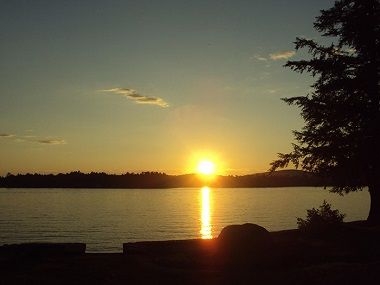
Hiking at Glens Falls Canal Trail
Feeder Canal Trail activities include walking, running, bicycling, canoeing and kayaking, fishing and cross-country skiing

The last remaining original canal in New York State, the nine-mile trail begins at the Feeder Dam in Glens Falls and will bring you by a portion of the few remaining sections of the original 1820s canal system. It also follows the Hudson River through town to the Champlain Canal, then turns south toward Fort Edward.
Feeder Canal Trail activities include walking, running, bicycling, canoeing and kayaking, fishing and cross-country skiing.
Parking and Trail Access The trail is wheelchair accessible and can be accessed from numerous places. Parking is available at the Fort Edward-Glens Falls Amtrack Station on Wing Street; take Wing Street north to where it intersects with Factory Street. The trail is at the intersection. You can also park at Burgoyne Avenue and Feeder Tow Road, at Glens Falls Civic Center, off Glen Street along the river and at the western terminus at the Feeder dam (Haviland Avenue).
Accessible


Glens Falls, NY
Current Conditions
35°F
Clouds
| Sat Apr 27 | Sun Apr 28 | Mon Apr 29 | Tue Apr 30 | Wed May 1 |
|
|---|---|---|---|---|---|
| 8am | 34° | 45° | 46° | 46° | 48° |
| 2pm | 54° | 51° | 51° | 50° | 54° |
| 8pm | 59° | 67° | 59° | 51° | 57° |
Dining near Glens Falls BOOK YOUR STAY Things To Do near Glens Falls Camping / RV near Glens Falls
LOOK WHAT ELSE
IS CLOSE BY
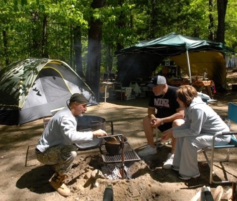
Caroga Campground
Capital-Saratoga

Caroga Lake Campground features more than 100 large and level sites that can accommodate the smallest tent to 40' RVs, some designated as accessible for the mobility impaired.
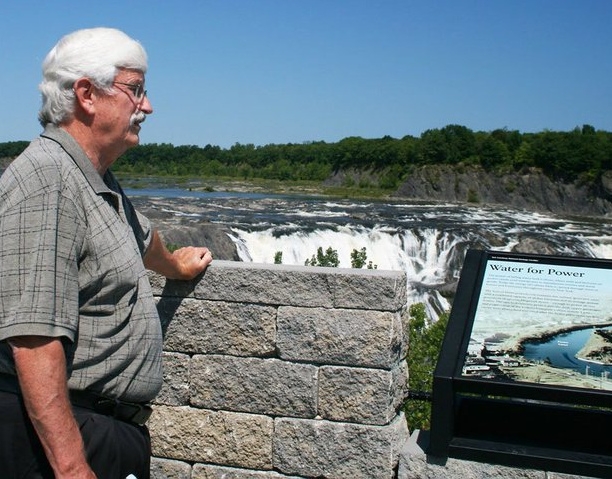
Cohoes Falls at Falls View Park
Capital-Saratoga
The four-acre Falls View Park offers a view of the scenic Cohoes Falls that spans the Mohawk River between Cohoes and Waterford, NY.
Moreau Lake State Park
Capital-Saratoga
The 4,531-acre state park Moreau Lake State Park is open year-round and features a beautiful lake with peaceful wooded campgrounds.
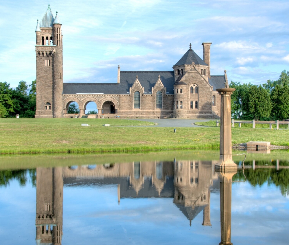
Oakwood Cemetery
Capital-Saratoga
Established in 1848, Oakwood Cemetery and the Earl Chapel are world-class architectural treasures and a National Historic Landmark.